
Problems This Solves
Compare grading progress between dates, check quantities for earthwork planning, and measure stockpiles for inventory. FHWA technical brief on earthwork and stockpile measurement.
02 / EARTHWORK
See what changed since the last flight. Recurring drone capture gives construction, quarry, and aggregate teams a current view of the site and a record of how it changed.
Compare grading progress between dates, check quantities for earthwork planning, and measure stockpiles for inventory. FHWA technical brief on earthwork and stockpile measurement.
Final deliverables depend on the agreed project scope.
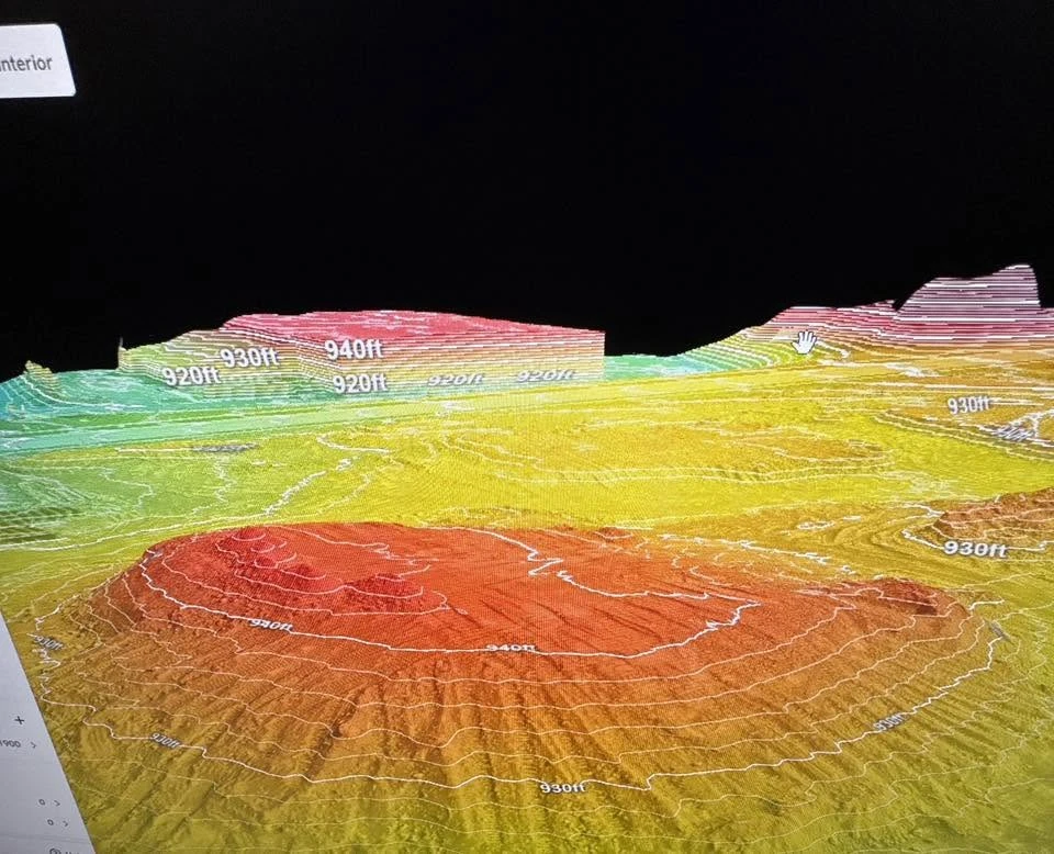
Elevation contours show how grades vary across the site.
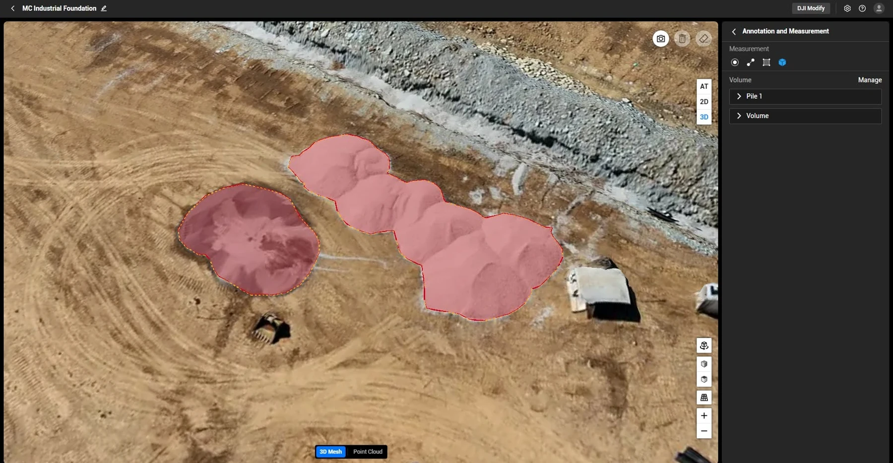
Marked pile boundaries show the areas used for volume calculations.
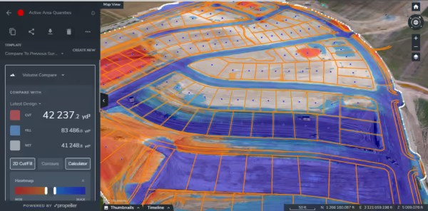
The map shows where material needs to be removed or placed. Propeller Aero software shown.
SCOPE & PRICING
Tell us what you need to measure, inspect, or document and what budget you’re working with. We’ll help you choose the capture frequency and deliverables that fit the job.