
Problems This Solves
Give construction teams a current view across the whole site and help operations teams find modules flagged for follow-up.
01 / SOLAR ASSETS
Track the build from above and locate thermal anomalies after commissioning.
Give construction teams a current view across the whole site and help operations teams find modules flagged for follow-up.
Final deliverables depend on the agreed project scope.
Capture current site conditions and compare dated maps as work advances. FHWA guidance on drone-based construction mapping.
Locate and document module anomalies at commissioned and operating sites. Module barcode capture can be tied to the site map when included. IEA PVPS guidance on aerial thermal imaging.
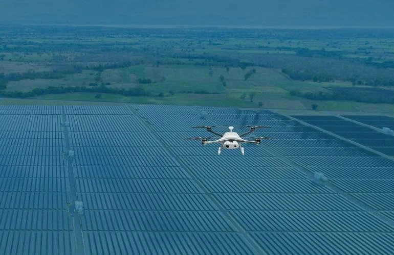
Illustrative aerial view of the panel layout and site access.
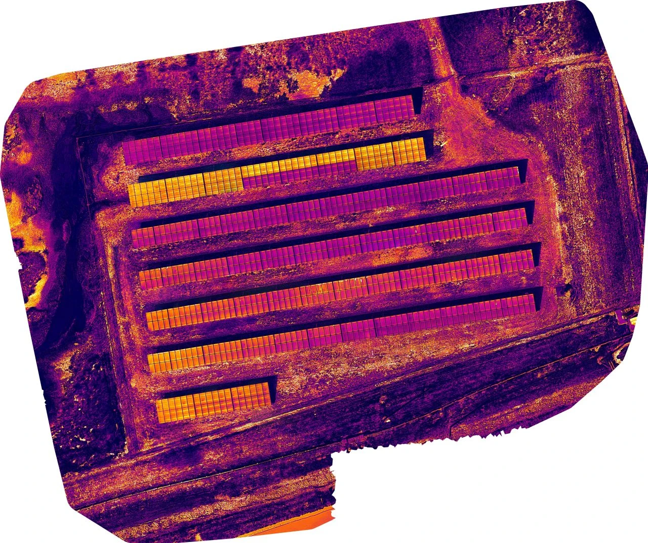
Thermal imagery shows temperature patterns across rows and helps teams pinpoint areas for follow-up.
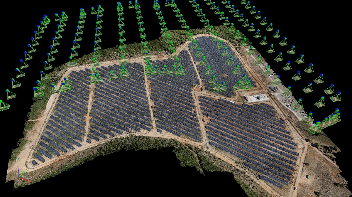
A 3D view shows the panel rows, access roads, and camera positions used to capture the site.
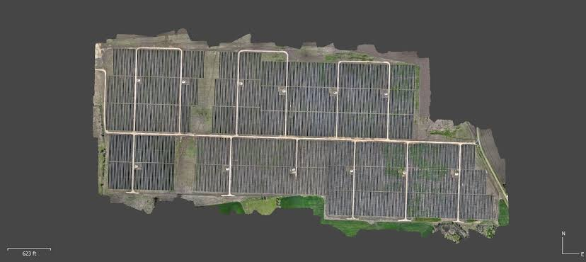
A stitched overhead map shows the layout of the panel blocks and access roads in one view.
SCOPE & PRICING
Tell us what you need to measure, inspect, or document and what budget you’re working with. We’ll help you choose the capture frequency and deliverables that fit the job.