
Problems This Solves
Give utility teams a visual record of asset and corridor conditions so they can prioritize field checks, plan maintenance, and update asset records.
UTILITY INFRASTRUCTURE
Drone inspections of transmission towers and distribution poles, with LiDAR mapping for vegetation along utility rights-of-way.
Give utility teams a visual record of asset and corridor conditions so they can prioritize field checks, plan maintenance, and update asset records.
Final deliverables depend on the agreed project scope.
Capture detailed views of structures, insulators, conductors, and hardware. Pair RGB imagery with thermal imaging where scoped to flag potential hotspots for utility crews to review. Oak Ridge National Laboratory research on drone-based power line inspection.
Map conductors, tree canopy, and surrounding terrain in 3D. Use the point cloud to identify potential vegetation encroachment and prioritize spans for clearance review or trimming. IEEE research on LiDAR for power-line vegetation management.
Document visible storm damage, including fallen trees, damaged structures or hardware, and blocked access routes, to support field verification and restoration planning.
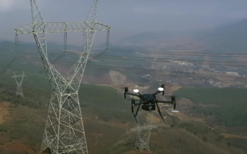
Illustrative view of an aerial inspection along a transmission corridor.
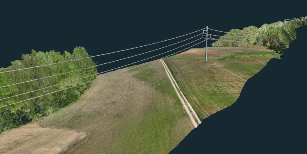
Illustrative corridor view showing overhead lines, terrain, and nearby vegetation.
SCOPE & PRICING
Tell us what you need to measure, inspect, or document and what budget you’re working with. We’ll help you choose the capture frequency and deliverables that fit the job.